88
MLCM
FALL/WINTER2016
Lava flows out ofClinkerPeakon the shoulderofMountPricewerehaltedby the ice,cooling
hardagainst it.When the ice retreated, the lava remained,a300-metre cliff toweringhighabove
theCheakamus; thebacksideof thekilometre-thick flowactedasadambehindwhichmeltwater
pooled to formGaribaldiLake—hence“theBarrier” todescribe it.
primarily fedby the Sphinx andSentinelGlaciers,
its outflowmostly restricted to subterranean
seepage along the contactwhere lava dammeets
bedrock. Reappearing as a handful of springs at
theBarrier’s base, thewater coalesces intoRubble
Creek, which flows quickly to theCheakamus.
Quane explains thismid-hike aswe take a breakon
a rockbalconyoverlooking theBarrier—a visage of
untrustworthy entropy. Rock tumbles continuously
from the intimidating face to talus below, and
evidence of larger-volume rockfall is everywhere—
including the infamous 1855–1856 landslides in
which some 30,000,000m3of rockpeeledoff to
form the boulder field forwhichRubbleCreek is
named. Inherent instability and further risks from
volcanic, tectonic, or rainfall activityprompted
the province todeclare the area below theBarrier
unsafe in1981, forcing relocationof a small village
onLucilleLake. Should theBarrier collapse to
bringGaribaldi Lake downwith it, damagewould
be catastrophic. Released in its entirety, the lake’s
1.29billionm3 volume—that’s 1.29
trillion
litre-
sizedwater bottles—would see a 120-metre-high
wall ofwater descendwith200 times the energy
of theHiroshima bomb toobliterate Squamish,
creating an impact-wave inHowe Sound.Numbers
like thiswere good reason to get a handle on the
lake’s hydrology.
To identify the dam’sweakpoints, and stresses
thesemight be vulnerable to,Quane has skied
in tobore holes throughwinter ice to check
temperatures, sonar-mapped the lake bottom from
a boat, andmeasuredoutflow. At aptlynamed
OverflowCreek, a surface drainage channel
that runs onlyduring spring snowmelt,Quane
installed a digital stream gauge that logswater
temperature andheight everyhour.We reach it
after creeping acrossmetre-deep snowbarely solid
enough to support us.Thewater’sweight on the
loggermeasures stream level, weight thatmust be
compensated for bybarometric pressure readings
from another instrument nearby.Quane retrieves
both anddownloads the data onto a small laptop,
pointing tooutflow spikes associatedwith large
autumn rain events—preciselywhat he’s after.
Aswechecka second logger furtherdown the lake,
Quaneexplains thatearthquakesorgravitational failure
from landslidesanddebris flowsanywhere in the
corridorarehazards to theunstableBarrier,butclimate
changeeffects that load thewater systemquicker—like
earlierandhighermelt rates,orbig rainevents—might
also increasepressureat the rock interfaces.
Our finalmeasurement, on the hike out, is a
logger set inRubbleCreekbelowwhere it bubbles
out from theBarrier. Scanning the area, however,
Quane finds that the $500 logger ismissing—
alongwith the large rock itwas bolted to. Invoking
the skills he impartedonour firstmeeting, we
engage in some forensic geology that suggests a
small rockslide and impactwave caused this and
other changeswe observe (later, scanning aerial
photos anddrone footage,Quanewill conclude
the event occurred sometime afterMarch9).This
discoverymakes the roar ofwater and shadows
cast by the rockwalls looming above thatmuch
eerier—even for a geologist.
In thisdynamic region,weknowcollapseof theBarrier
isageological certainty, and though theprobability
of ithappening inour lifetime is low, itdoesn’tmake
standing thereanyeasier.Fireand ice indeed.
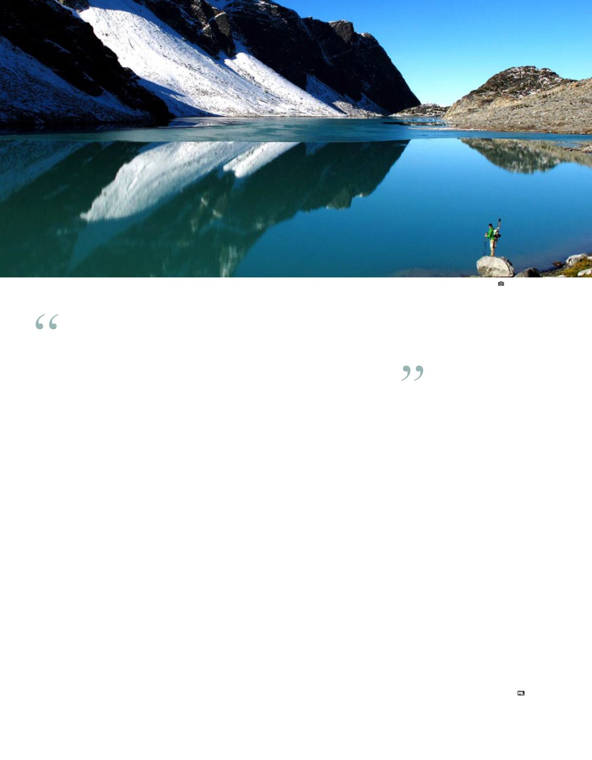
Wedgemount Lake. JIMMARTINELLO


