FALL/WINTER2016
MLCM
85
Thebits thatmakeup theCoastMountains
originated indiverse locations around the globe
that all, in a plate-tectonic, Rubik’sCube kindof
way,met alongBC’s south coast. All this crustal
pushing and shoving ledboth to the jaggedpeaks
we recreate on, and themineral wealth in the
ground. In addition, the JuandeFuca plate has
been subductinghere, pushingunder theNorth
Americanplate to form theGaribaldiVolcanic
Belt, extensionof theCascadeVolcanoes of the
USPacificNorthwest. All of thiswhilemassive
Pleistocene glaciers swept back and forth across the
land formillions of years. Basically, a lotwent on
here,meaning there’s plenty to learn.
We headnorth to theTantalusRange overlook,
scanning for evidence of glaciation. It canbe seen
inhanging valleys (evidence of side glaciers that fed
themain valley glacier), recentlyde-glaciated faces
andhills scoured roundby glaciers, aswell as in
current glaciers, with their bergschrunds, crevasse
fields, hanging icefields, andmoraines. It is possible
even todivine the level towhichprevious ice has
risenby
nunataks
—peaks that once pokedup from
the ice sheet.
Then it’s on toBrandywineFalls, whichoffers a
rare cross-section through5–8 lava flows (noone’s
sure exactlyhowmany).The upper flow’s edge had
a smallV-notch in it thatwas cut backby a flood
ofwater fromunder the receding valley glacier. At
one point in time, water pouredover all sides of
the punchbowl nowoccupiedby the falls. Evidence
of a large, prolonged flood event is seen in chunks
ofwater-wornbasalt resting in thewoods andby
the trail.
Just southofWhistler, we inspect roadside
columnar basalt.The hexagonal pillars form
smallishmonoliths on the east sidewhich, in
winter, capped in snow, resemble odd cupcakes.Up
close you can seewhere columns have beenbent
sideways, clearly forming in away that differs from
lava that spreads unimpeded across the land to
cool, as inHawaii and Iceland.These lone hills sit
atop a sinuous formationwinding across the land
fromnorth to south, steep-sided andoffering crazy
views overCheakamusValley.The story: this lava
erupted and flowedbeneath a valley glacier, likely
inmeltwater channels or caverns createdby earlier
flows, accounting for the columns that look like
theywere forced into spaces.
Thoughwe don’t venture that far, there’s also
MountMeager to consider, a volcanicmassif 50
kilometres upriver fromPemberton. Some 2,400
years ago,Meager uncorkedone ofCanada’s
largest explosions, triggering a huge landslide and
sending ash as far asAlberta.Though it hasn’t
erupted inmillennia, thatdoesn’tmean itwon’t. In
August 2010, a heat-mediated collapse ofMeager’s
CapricornGlacier sent the largest slide inCanadian
history—48,500,000m3of debris—thundering
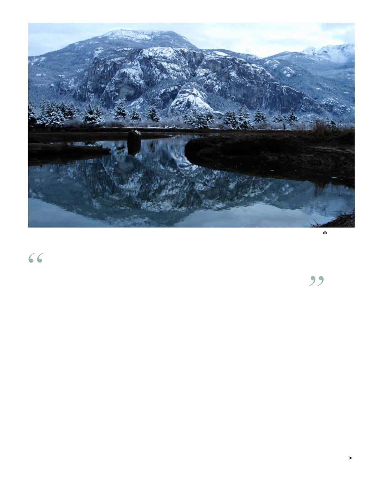
Stawamus Chief granite. JIMMARTINELLO
It turns out that aglacierdid, in fact,occupy this entirevalley.A large
one,over twokilometreshigh,meaning that theChief—and theuniversity
campus,and thebaby farm that isSquamish—wereat one timedeepbeneath it.


